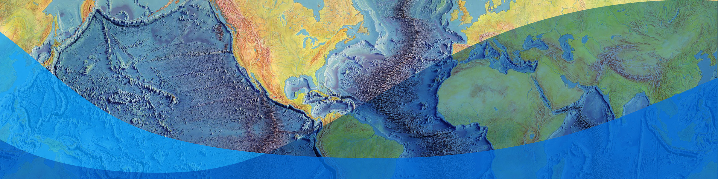
Columbia Climate NewsPolicyJul 31 Interactive: The Heezen–Tharp World Ocean Floor Map
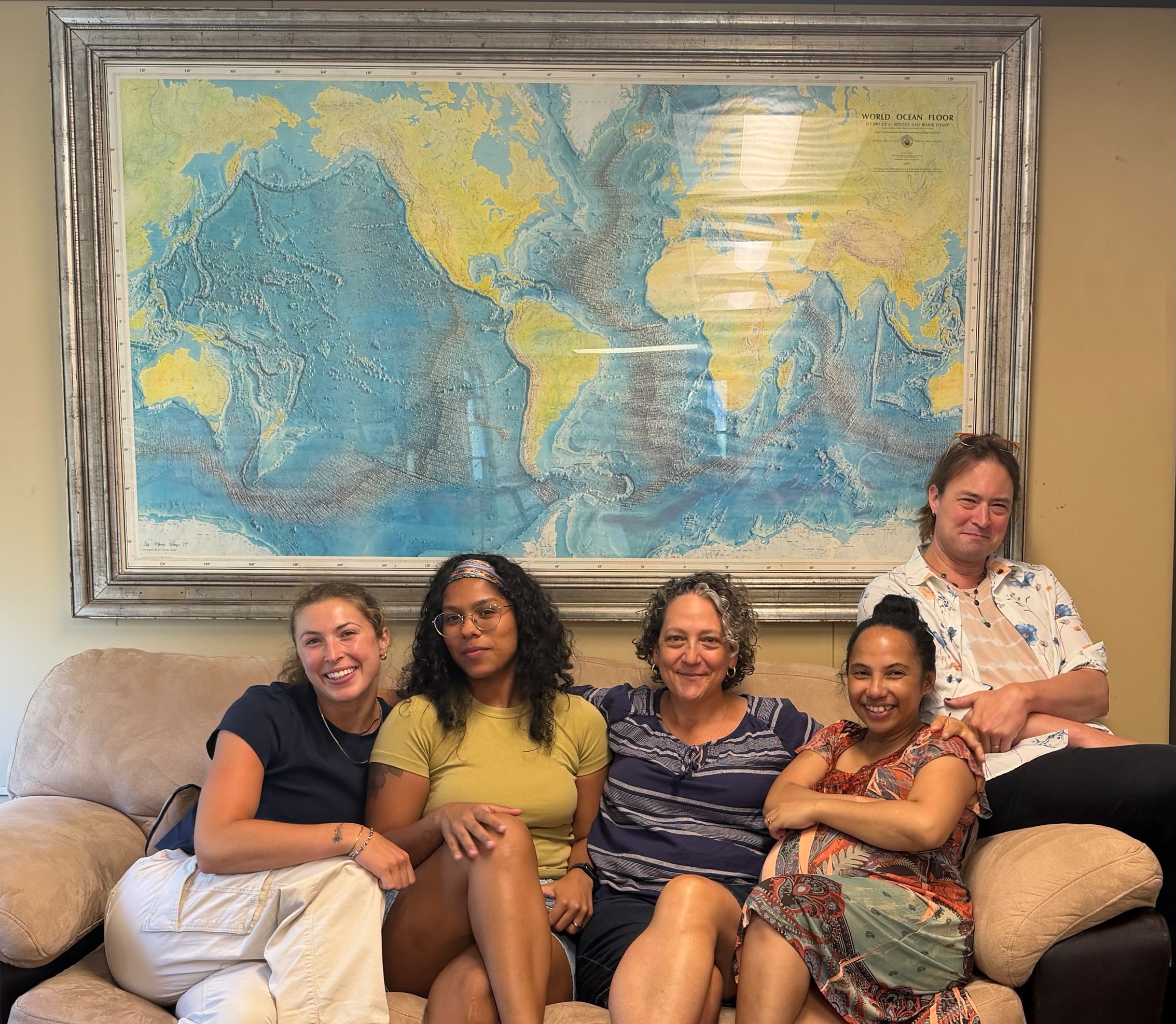
Explore Marie Tharp's groundbreaking 1977 World Ocean Floor map and discover how it transformed our understanding of the Earth.
Abatify Summary
**Accurate bathymetric mapping forms the foundational baseline for identifying deep-sea carbon reservoirs and safeguarding fragile benthic biodiversity hotspots.**
- Enables precise geological baselines necessary to model deep-ocean carbon sequestration capacity and protect marine benthic ecosystems.
- Identifies benthic structures critical for ocean circulation modeling, directly impacting long-term carbon cycle permanence assessments.
- Establishes physical geographical constraints required to protect marine wilderness areas from seabed disturbance and preserve biological diversity.
**Standardized oceanographic data serves as the empirical substrate required to scale high-integrity Blue Carbon methodologies under ICVCM Core Carbon Principles.**
- Aligns emerging ocean-based carbon removal projects with ICVCM Core Carbon Principles (CCPs) by providing robust baseline bathymetry for rigorous MRV (Measurement, Reporting, and Verification).
- Informs spatial planning frameworks necessary to execute sovereign ITMO transactions and marine-based transfers under Article 6.2 and Article 6.4 of the Paris Agreement.
- Provides corporate buyers with baseline geospatial integrity required to justify Scope 3 nature-positive claims and align with SBTi Corporate Net-Zero Standards.